Trusted Drone Pilot Expertise for Northern New England
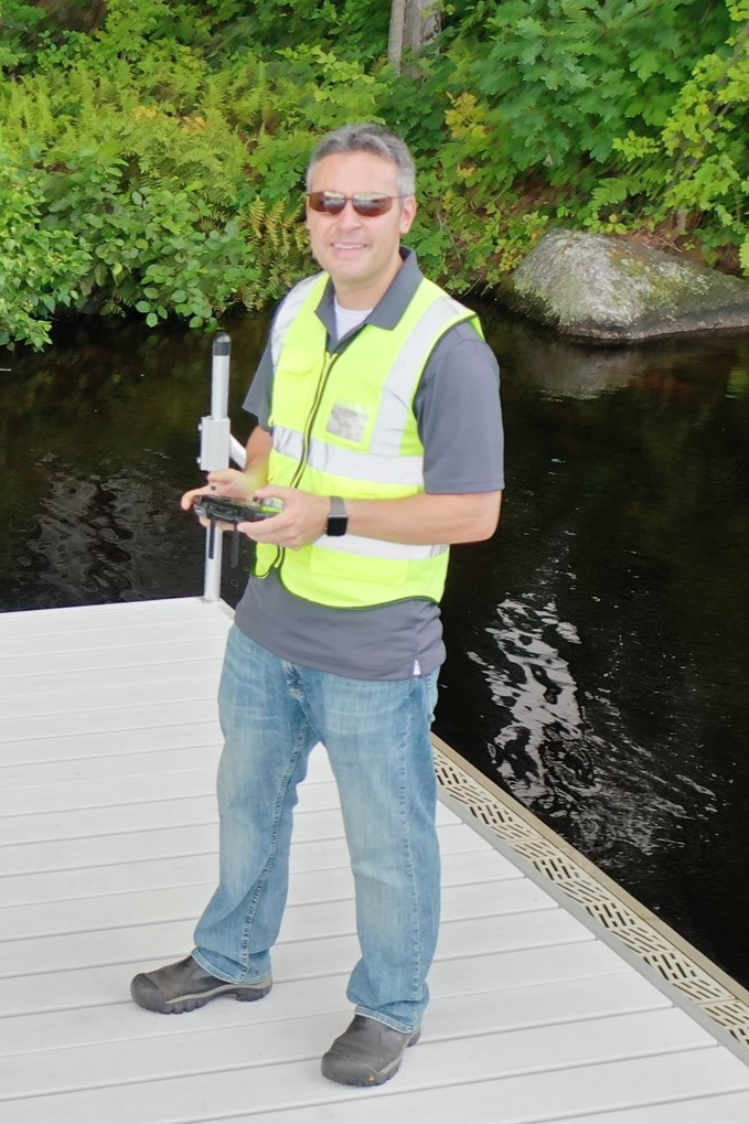
Graham Pellettieri is an FAA-certified drone pilot with experience flying UAVs since 2019. His work has been nationally and locally recognized for innovation in landscape design and site assessment. Graham is passionate about providing professional, high-quality aerial data to help stakeholders, landowners, developers, and construction teams make informed decisions—safely, efficiently, and reliably.


Experience You Can Trust
Flying drones since 2019
Recognized nationally for innovation in drone technology
Over 300+ Flight Hours Logged
100+ Sites Captured!
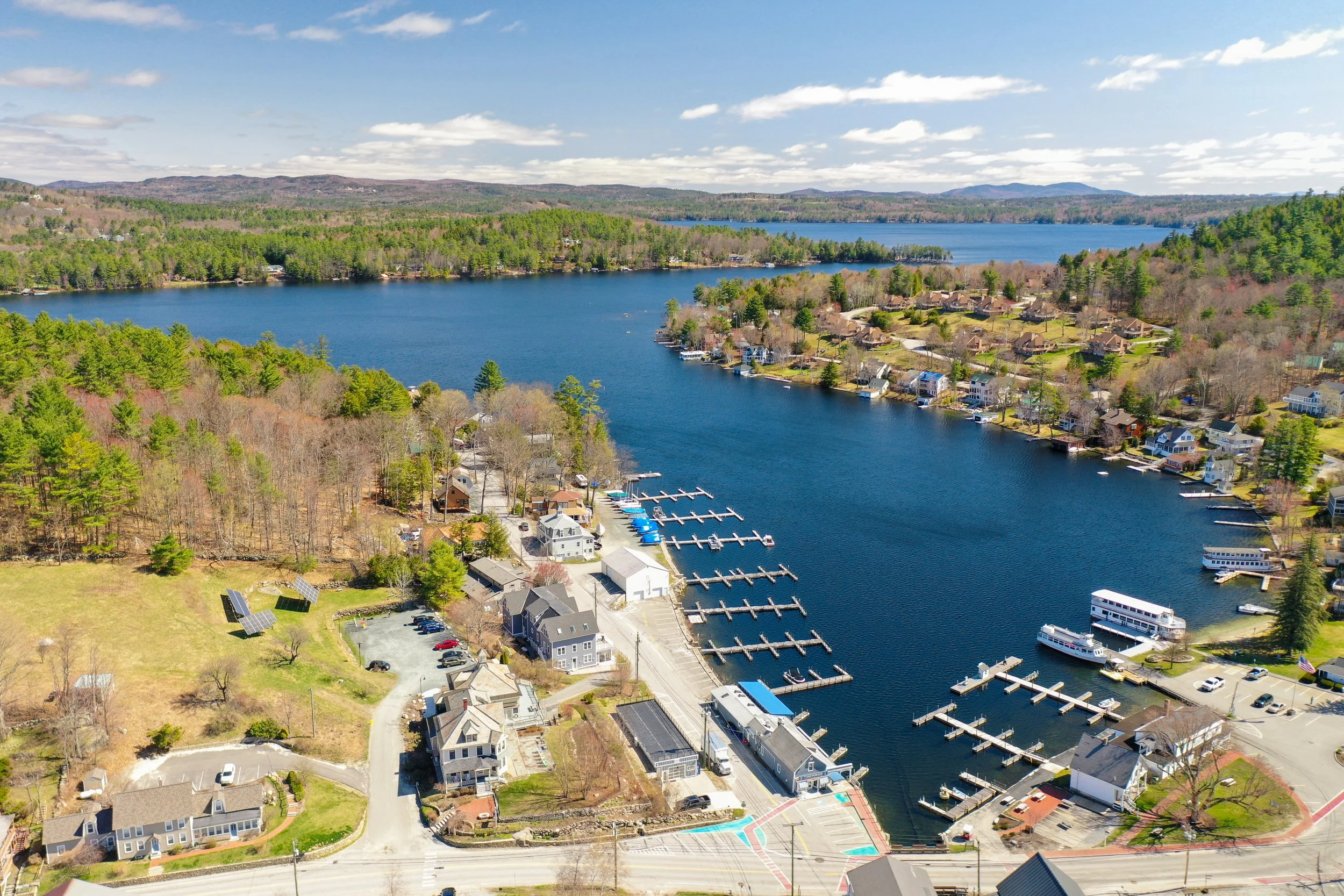
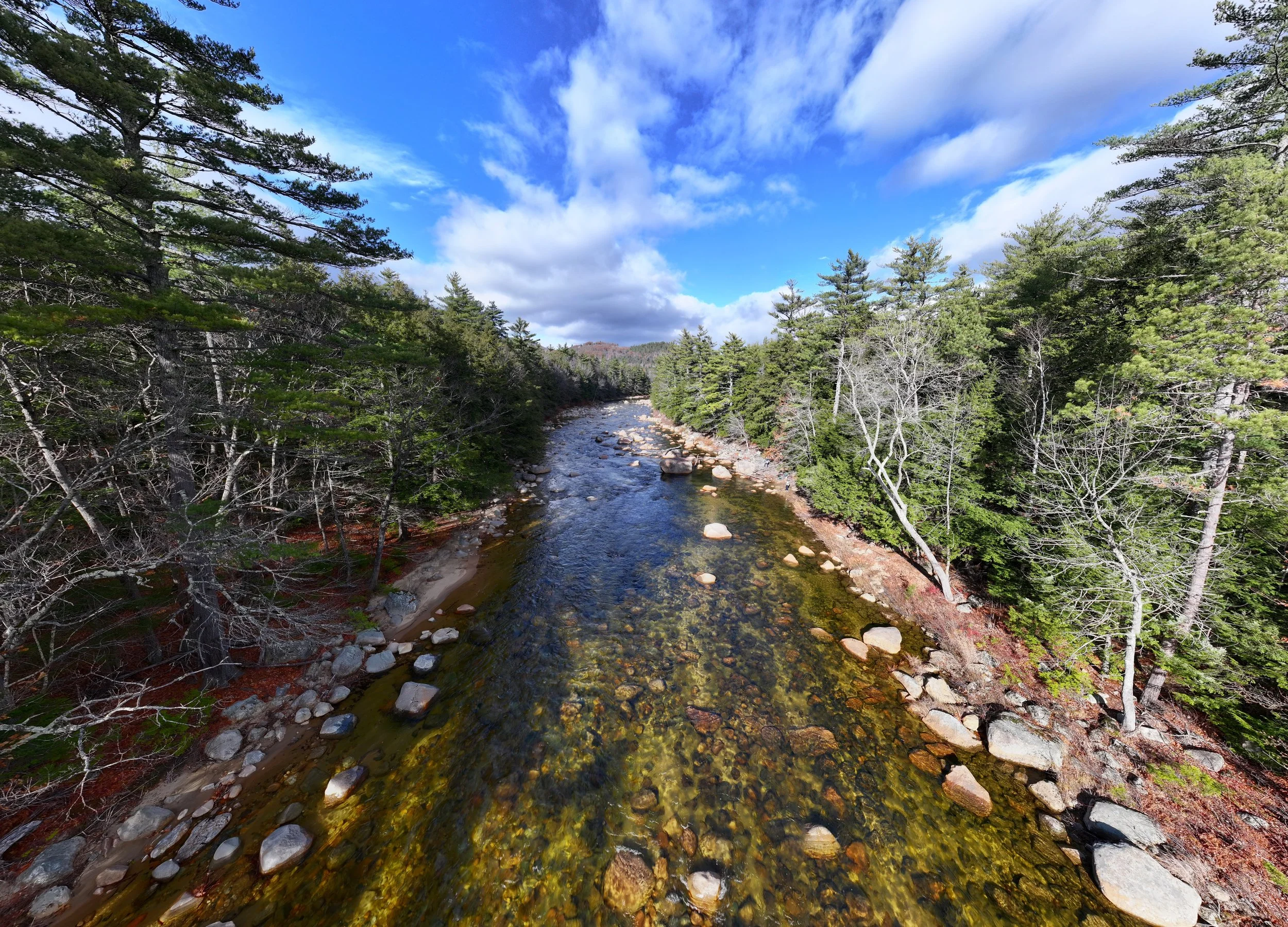
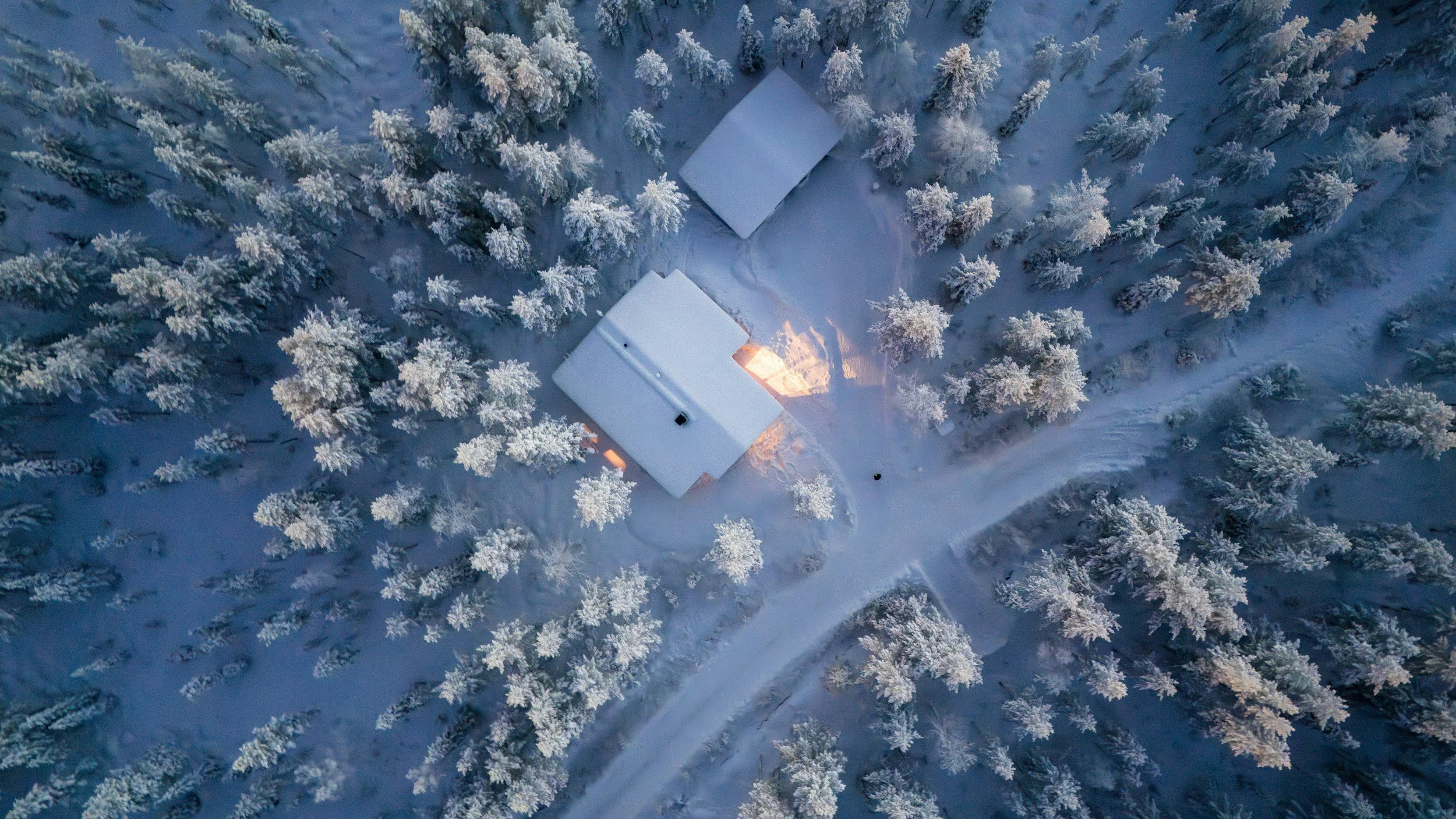
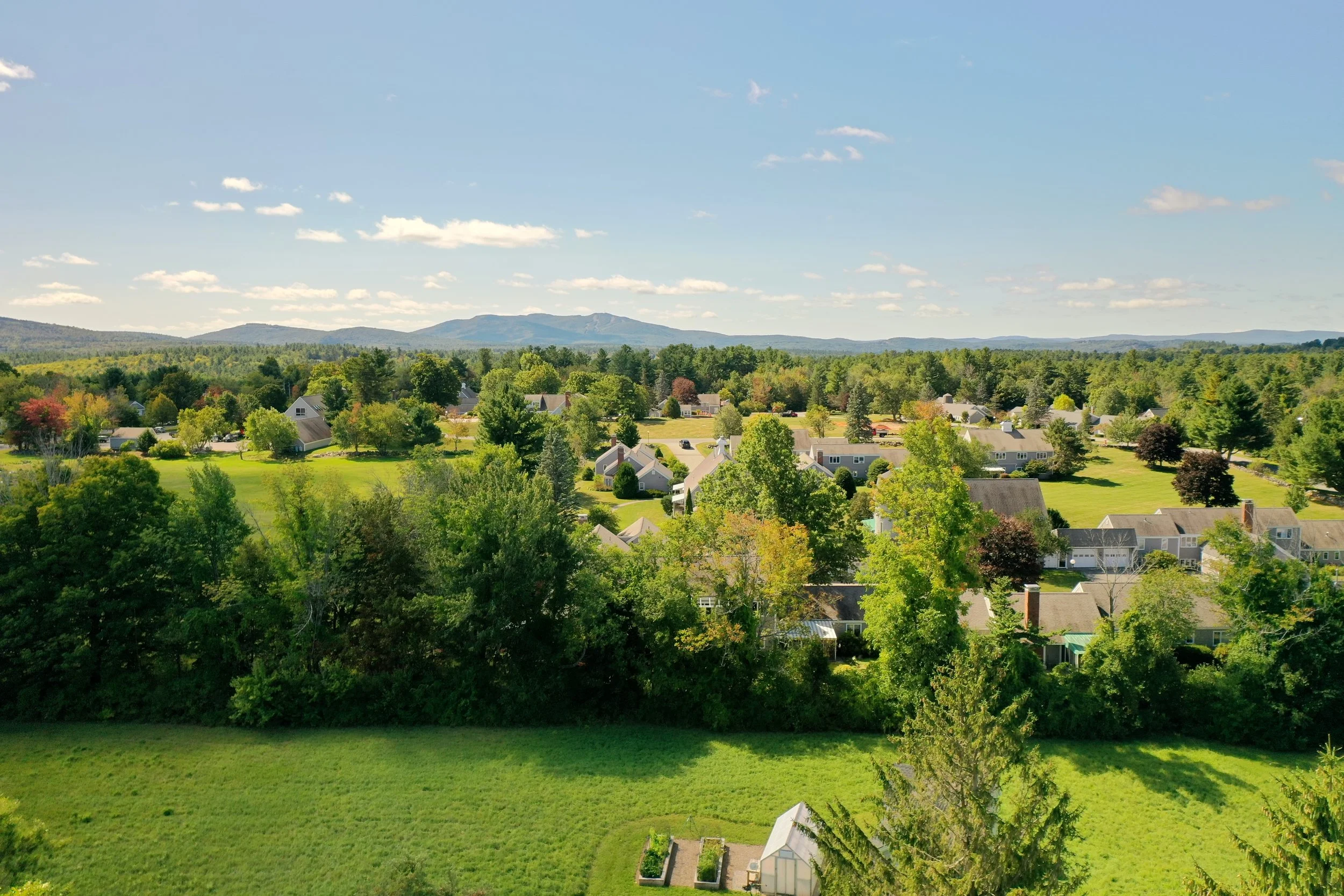
Aerial Mapping Services


2D Land & Terrain Mapping
Accurate aerial maps for site evaluation or future planning. Ideal for properties up to 500 acres in size. One-time or recurring flights available.
3D Site Modeling
Photo-realistic, navigable 3D models for land, buildings, waterbodies, and more. Supports sites up to 200 acres. One-time or recurring flights available.
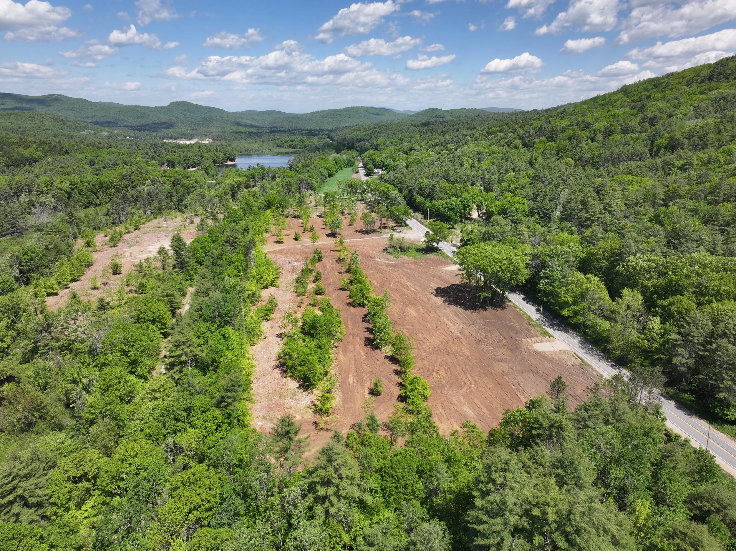
Construction Site Monitoring
Track progress with clear aerial maps and models. Compare dates, showcase progress, and gain actionable insights. Ideal for sites up to 200 acres. Weekly, bi-weekly, or monthly flights.

Track Property Improvements
Document changes and the evolution of landscapes, gardens, forests, lawns, or site improvements. Weekly, monthly, seasonal, or annual flight options.
How It Works
Simple. Professional. Reliable.
-
Pick a time and frequency that fits your project.
-
FAA-certified pilot handles everything safely.
-
Receive high-resolution maps and 3D models online.
-
Compare dates, track progress, and make informed decisions.
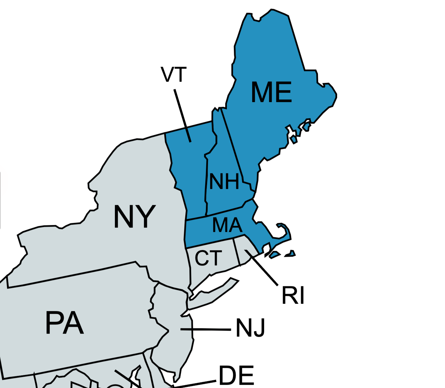
Geographic Service Area
Proudly Serving Northern New England
Providing professional drone services across Maine, New Hampshire, Vermont, and Northern Massachusetts. With deep local knowledge of landscapes, weather, and FAA regulations, we deliver aerial data you can trust—every time.
What People Are Saying
★★★★★
The aerial mapping and 3D models were exceptionally detailed and accurate. The data-rich deliverables gave our team insights we simply couldn’t get from traditional surveys.”
— Former Customer★★★★★
“Their construction monitoring saved us time and money by clearly tracking progress and site changes over time. The clarity and consistency of the data exceeded our expectations.”
— Former Customer★★★★★
“Absolutely blown away by the quality of the imagery and data! The insights we gained were game-changing and gave us a whole new perspective on our site.”
— Former Customer★★★★★
“The property updates were incredibly thorough and easy to understand. Having high-quality aerial data helped us make confident decisions about our land.”
— Former Customer★★★★★
“Easy to work with and the results were awesome. The aerial info made planning updates to our property so much simpler.”
— Former Customer★★★★★
“Super impressed with the level of detail in the maps and models. We learned more about our property in one report than we had in years.”
— Former CustomerRecognized for Innovation & Excellence
Proud to be leading the way in the green industry by incorporating innovative technology into our workflows.
Featured in the National Assocation of Landscape Professionals EDGE publication for innovation in drone-assisted landscape design.
❋
Starting at $500Ready to Take Your Project to New Heights?
Schedule a flight or request a free consultation today. High-quality aerial data is just a click away.